Serengeti Trail Races
50-Mile ~ 50k ~ 25k ~ 10k

|


|
Date and Time
1 May 2027
All races start at 7:00 am
Check-in 5:30-6:45 am
Registration ends at 11:59 pm 29 April
All races start at 7:00 am
Check-in 5:30-6:45 am
Registration ends at 11:59 pm 29 April
Race Location
Bates Canyon Trail Head
Erda, UT
(Bates Canyon Rd, 1.4 miles east of SR-36)
Erda, UT
(Bates Canyon Rd, 1.4 miles east of SR-36)
Awards
Modest awards will be given to the top three male and female finishers in each distance.

Race Refund/Withdrawal Policy
Entry fees are non-refundable.
Bib transfers are not permitted.
Life happens - we know. If you cannot attend the race, inform us by 29 April and you can defer your registration to a future Tooele Trail Racing event.
Bib transfers are not permitted.
Life happens - we know. If you cannot attend the race, inform us by 29 April and you can defer your registration to a future Tooele Trail Racing event.
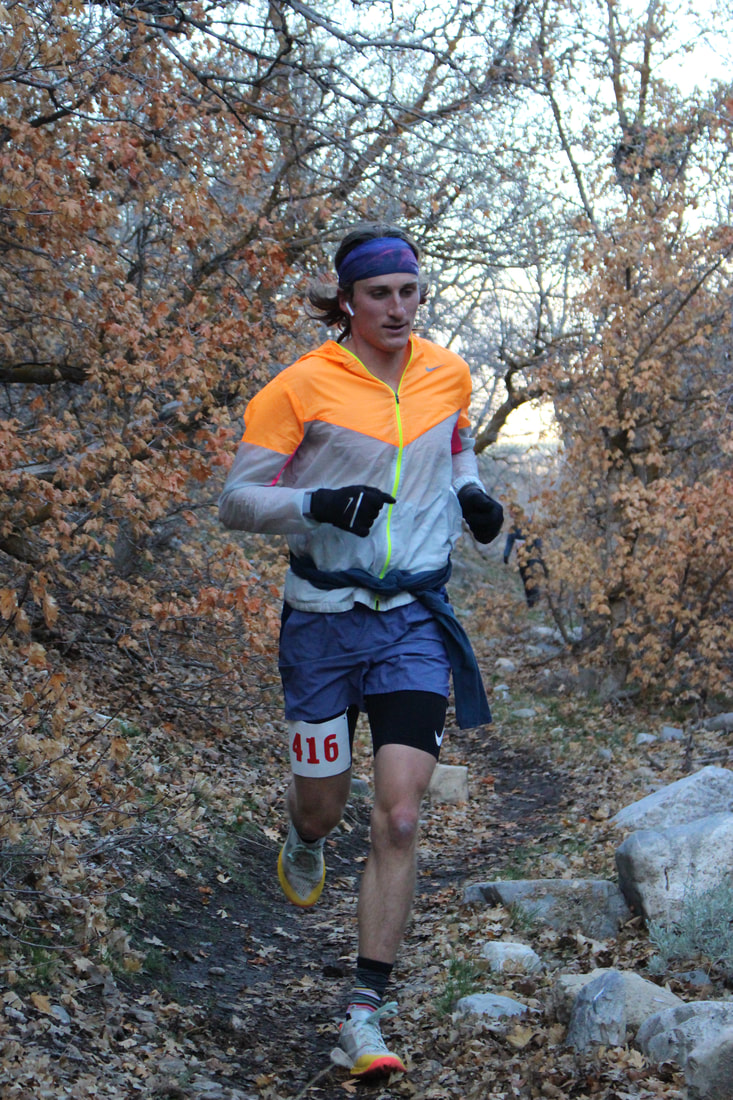
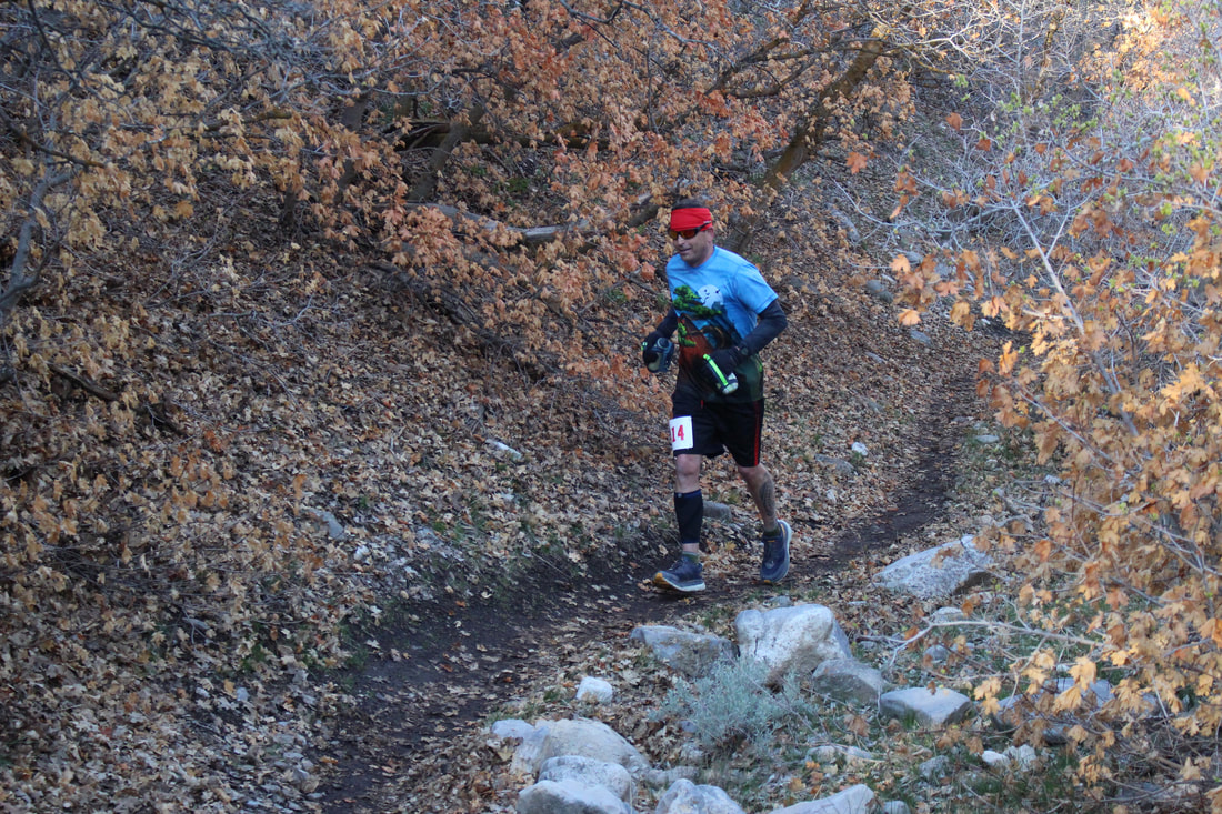
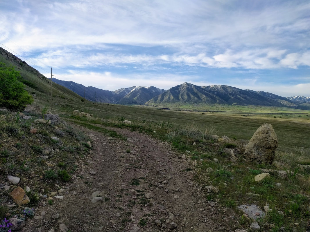
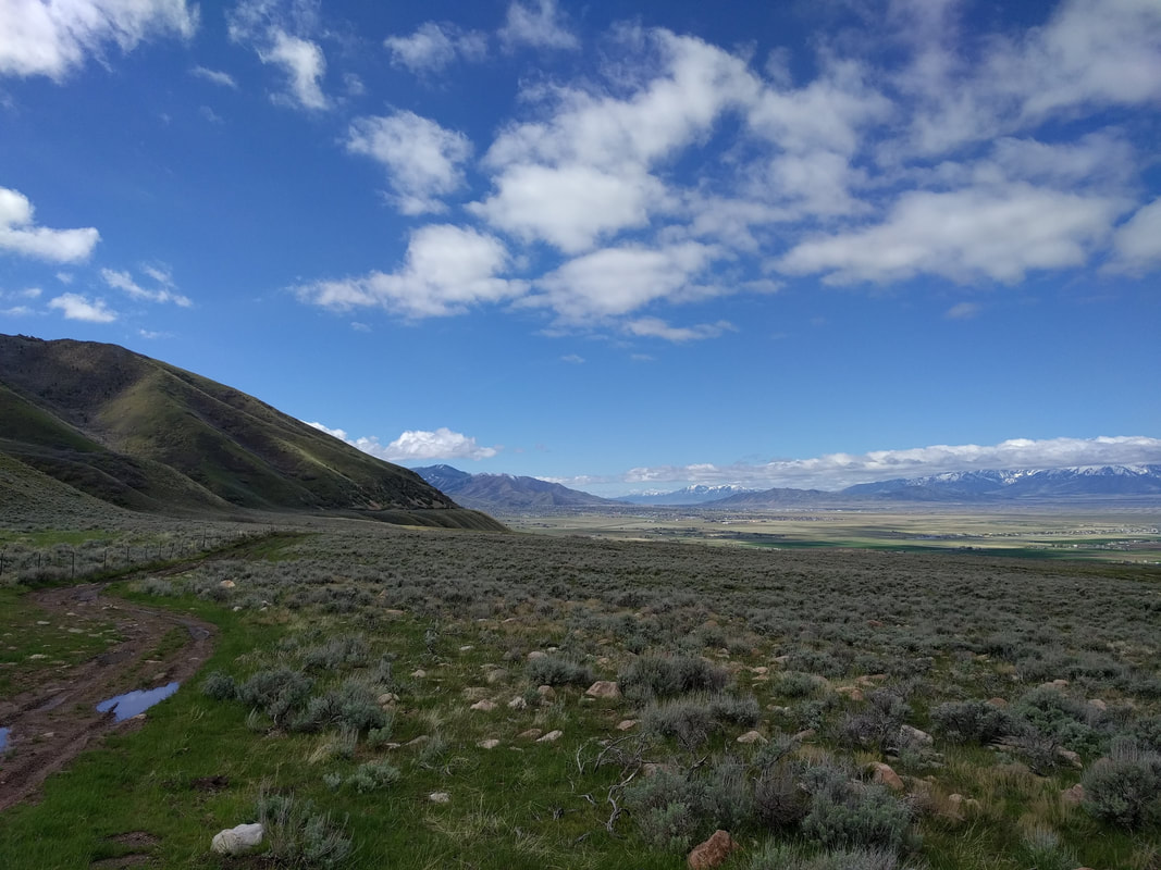
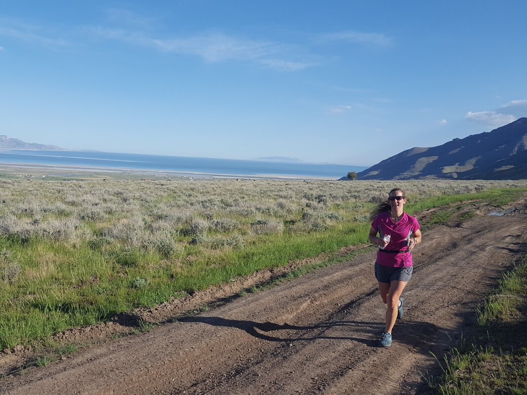
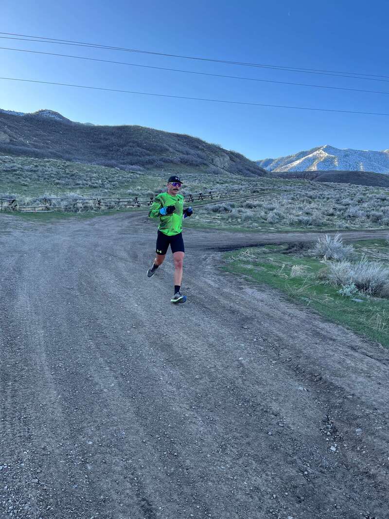
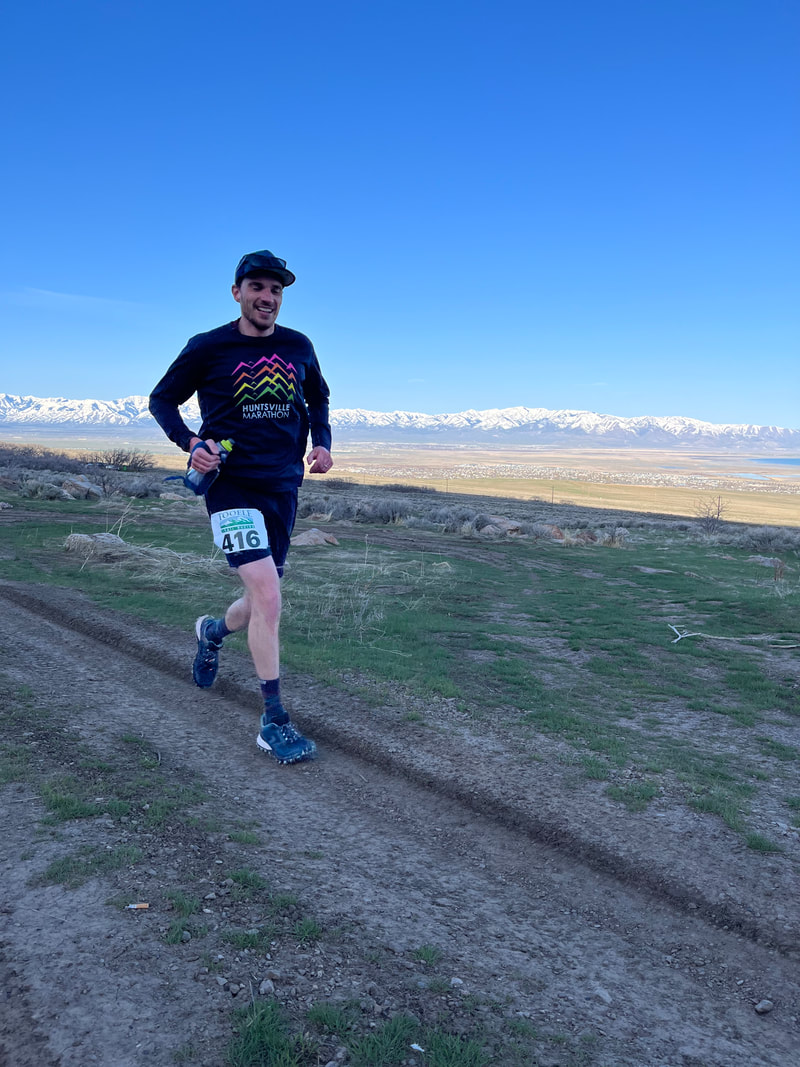
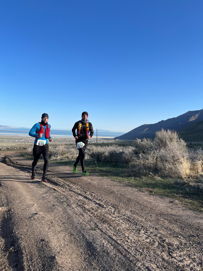
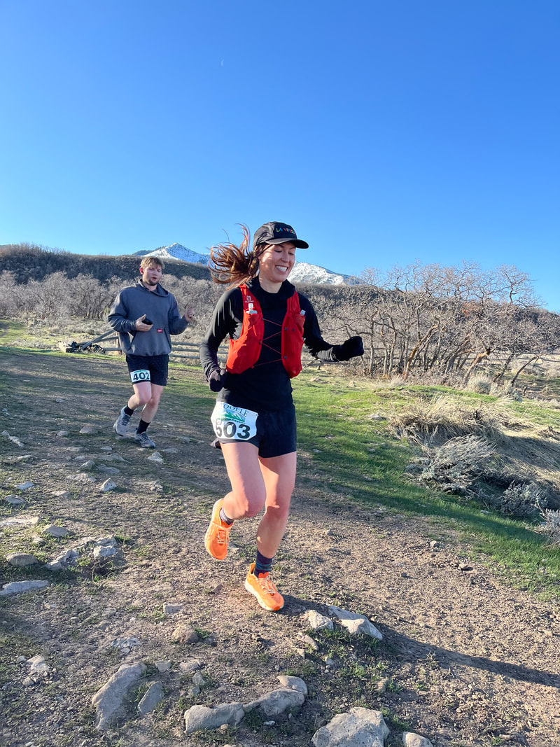
Tooele County is home to the Serengeti/Oquirrh Wave trail system, situated at the feet of the Oquirrh Mountains. These courses will appeal to the beginner and experienced trail runner alike. You will traverse semi-technical atv trails; take in sweeping views of the Tooele Valley, Great Salt Lake, and distant Stansbury Mountain Range; and enjoy the beauty and solitude of getting off the asphalt and onto the dirt.

50-Miler

Course Description
Pending some land use permits, we're excited to offer you a mid-spring peakbagging race experience, where you'll get to traverse the Serengeti/Oquirrh Wave trail segments, as well as tackle 8,245 ft Barney's Peak (twice!).
*Detailed description coming soon...
Total Mileage - 50.2 miles
Total Vert - 12,000 ft
Dirt Road/ATV Trail - %
Single-Track - %
Double-Track - %
Off-Trail - %
Hard Cutoffs are as follows:
Mile 25.1 - 8.5 hours (3:30 pm)
Mile 32.4 - 11 hours (6:00 pm)
Mile 37.15 - 12.5 hours (7:30 pm)
Mile 50.2 - 17 hours (11:59:59 pm)
*Detailed description coming soon...
Total Mileage - 50.2 miles
Total Vert - 12,000 ft
Dirt Road/ATV Trail - %
Single-Track - %
Double-Track - %
Off-Trail - %
Hard Cutoffs are as follows:
Mile 25.1 - 8.5 hours (3:30 pm)
Mile 32.4 - 11 hours (6:00 pm)
Mile 37.15 - 12.5 hours (7:30 pm)
Mile 50.2 - 17 hours (11:59:59 pm)
Aid Stations
Aid Station #1 Pass Canyon (mile 5.75)
Aid Station #2 Pass Canyon (mile 13.05)
Aid Station #3 BBC (mile 17.8)
Aid Station #4 Start/Finish Area (mile 25.1)
Aid Station #5 BBC (mile 32.4)
Aid Station #6 Pass Canyon (mile 37.15)
Aid Station #7 Pass Canyon (mile 44.45)
Finish - Mile 50.2
Aid Station will be stocked with the following:
Water, electrolyte drink, fruit, and other goodies.
*Aid Station offerings may present a risk to those who have food allergies.
Aid Station #2 Pass Canyon (mile 13.05)
Aid Station #3 BBC (mile 17.8)
Aid Station #4 Start/Finish Area (mile 25.1)
Aid Station #5 BBC (mile 32.4)
Aid Station #6 Pass Canyon (mile 37.15)
Aid Station #7 Pass Canyon (mile 44.45)
Finish - Mile 50.2
Aid Station will be stocked with the following:
Water, electrolyte drink, fruit, and other goodies.
*Aid Station offerings may present a risk to those who have food allergies.
Drop Bags
Runners may keep a drop bag at the Pass Canyon Aid Station & the Start/Finish Area (or in their vehicle).
Tooele Trail Racing will not be responsibile for any lost or damaged items associated with runners' drop bags.
Tooele Trail Racing will not be responsibile for any lost or damaged items associated with runners' drop bags.
Crew & Pacers
Runners may have Crew to assist them at the Start/Finish Area (or in the Bates Canyon Trailhead parking lot).
Runners may pick up one pacer at the Start/Finish Area (mile 25.1)
The pacer must be committed to staying with their runner for the remainder of their race (another 25.1 miles)
Runners may pick up one pacer at the Start/Finish Area (mile 25.1)
The pacer must be committed to staying with their runner for the remainder of their race (another 25.1 miles)
Course Map
~50k~
Course Description
The 50k course will consist of two 25k loops - the first loop will be run in conterclockwise direction, with the second loop being run in clockwise direction.
*Detailed description coming soon...
To finish up, runners will repeat this loop, in clockwise direction.
Total Mileage - 31.5 miles
Total Vert ~5,000 ft
Dirt Road/ATV Trail - 68%
Single-Track - 26%
Double-Track - 6%
Hard Cutoffs are as follows:
Mile 15.75 - 4.5 hours (11:30 am)
Mile 31.5 - 9 hours (4:00 pm)
*Detailed description coming soon...
To finish up, runners will repeat this loop, in clockwise direction.
Total Mileage - 31.5 miles
Total Vert ~5,000 ft
Dirt Road/ATV Trail - 68%
Single-Track - 26%
Double-Track - 6%
Hard Cutoffs are as follows:
Mile 15.75 - 4.5 hours (11:30 am)
Mile 31.5 - 9 hours (4:00 pm)
Aid Stations
Aid Station #1 BBC (mile 10.25)
Aid Station #2 Start/Finish Area (mile 15.75)
Aid Station #3 BBC (mile 21.25)
Finish - Mile 31.5
Aid Station will be stocked with the following:
Water, electrolyte drink, fruit, and other goodies.
*Aid Station offerings may present a risk to those who have food allergies.
Aid Station #2 Start/Finish Area (mile 15.75)
Aid Station #3 BBC (mile 21.25)
Finish - Mile 31.5
Aid Station will be stocked with the following:
Water, electrolyte drink, fruit, and other goodies.
*Aid Station offerings may present a risk to those who have food allergies.
Drop Bag
Runners may keep a drop bag at the Start/Finish Area (or in their vehicle) to use after completing first loop.
Tooele Trail Racing will not be responsibile for any lost or damaged items associated with runners' drop bags.
Tooele Trail Racing will not be responsibile for any lost or damaged items associated with runners' drop bags.
Crews & PacersRunners may have Crew to assist them at the Start/Finish Area (or in the Bates Canyon Trailhead parking lot).
Runners may not have a pacer at any point. It's just a 50k - you got this! Course Map |
~ 25k ~

Course Description
The 25k Course will be the first loop, run with the 50k'ers.
Total Mileage - 15.75 miles
Total Vert ~ 2,500 ft
Dirt Road/ATV Trail - 68%
Single-Track - 26%
Double-Track - 6%
Hard Cutoff is as follows:
Mile 15.75 - 4.5 hours (11:30 am)
Total Mileage - 15.75 miles
Total Vert ~ 2,500 ft
Dirt Road/ATV Trail - 68%
Single-Track - 26%
Double-Track - 6%
Hard Cutoff is as follows:
Mile 15.75 - 4.5 hours (11:30 am)
Aid Station
Aid Station #1 BBC (mile 10.25)
Finish - mile 15.75
Aid Stations will be stocked with the following:
Water, electrolyte drink, fruit, and other goodies.
*Aid Station offerings may present a risk to those who have food allergies.
Finish - mile 15.75
Aid Stations will be stocked with the following:
Water, electrolyte drink, fruit, and other goodies.
*Aid Station offerings may present a risk to those who have food allergies.
Course Map
~ 10k ~

Course Description |
*Detailed description coming soon
Total Mileage: 6.2 miles
Total Vert: ~1,250 ft.
Single-Track: 44%
Dirt Road/ATV Trail: 41%
Double-Track: 15%
Hard Cutoff - 2 hours (9:00 am)
Total Mileage: 6.2 miles
Total Vert: ~1,250 ft.
Single-Track: 44%
Dirt Road/ATV Trail: 41%
Double-Track: 15%
Hard Cutoff - 2 hours (9:00 am)
Course Map
Rules and Guidelines
All distances will be marked with RED course markings.
Directional Signs will be placed at key junctions.
If you happen to go off-course, you must return to the point at which you left the course, before continuing on. If you don't course-correct, you will be DQ'ed.
It is the responsibility of the runner to check in at the aid station. Seek out an aid station worker and tell them your bib number. Failure to check in at an aid station may result in disqualification. If you drop out of the race, you must turn in your bib to an aid station worker.
You are encouraged to carry a hydration pack, hydration belt, or hand-held.
Pack out what you pack in, or throw it in a garbage can at the aid station. If you are seen purposefully dropping trash on the trail you may be disqualified.
No animals allowed on the course or at the Start/Finish Area.
Course subject to change at RD's discretion.
Directional Signs will be placed at key junctions.
If you happen to go off-course, you must return to the point at which you left the course, before continuing on. If you don't course-correct, you will be DQ'ed.
It is the responsibility of the runner to check in at the aid station. Seek out an aid station worker and tell them your bib number. Failure to check in at an aid station may result in disqualification. If you drop out of the race, you must turn in your bib to an aid station worker.
You are encouraged to carry a hydration pack, hydration belt, or hand-held.
Pack out what you pack in, or throw it in a garbage can at the aid station. If you are seen purposefully dropping trash on the trail you may be disqualified.
No animals allowed on the course or at the Start/Finish Area.
Course subject to change at RD's discretion.
|
|
|
|
|
|


|


|