Bear Trap Trail Races
Marathon ~ 23k ~ 10k
|
|
Date and Time
10 October 2026
Race starts at 8:00 am
Check-in 6:30-7:45 am
Registration ends at 11:59 pm 8 October 2026
Race starts at 8:00 am
Check-in 6:30-7:45 am
Registration ends at 11:59 pm 8 October 2026
Race Location
Settlement Canyon
Tooele, UT
Settlement Canyon Rd (1 mile east of SR-36)
Tooele, UT
Settlement Canyon Rd (1 mile east of SR-36)
Awards
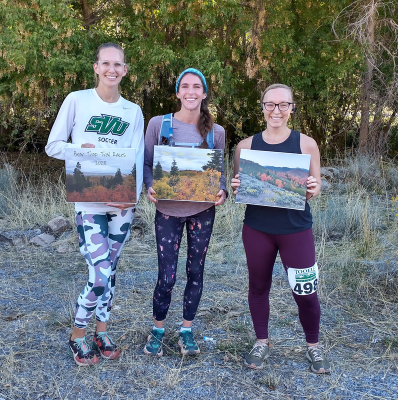
Modest awards will be given to the top three men and women in each distance.
Refund/Withdrawal Policy
Registration fees are non-refundable
Transfers are not permitted
Life happens; we know. If you cannot attend the race, inform us by 8 October 2026 and you can defer your registration to a future Tooele Trail Racing event.
Transfers are not permitted
Life happens; we know. If you cannot attend the race, inform us by 8 October 2026 and you can defer your registration to a future Tooele Trail Racing event.
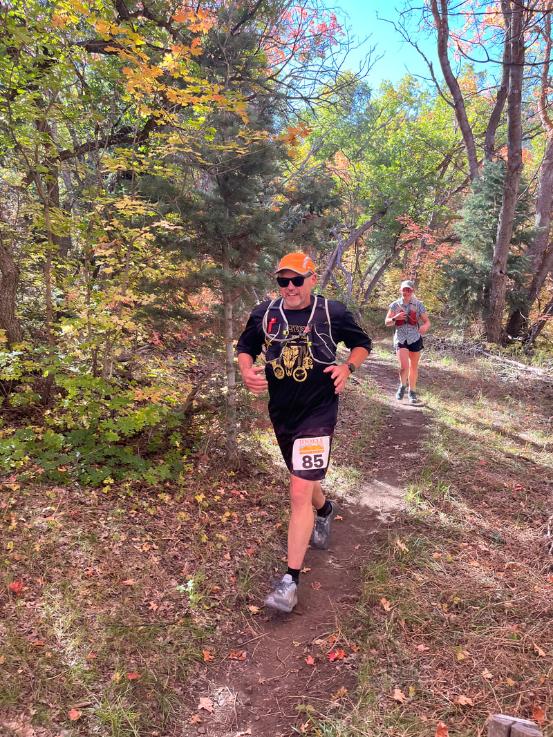
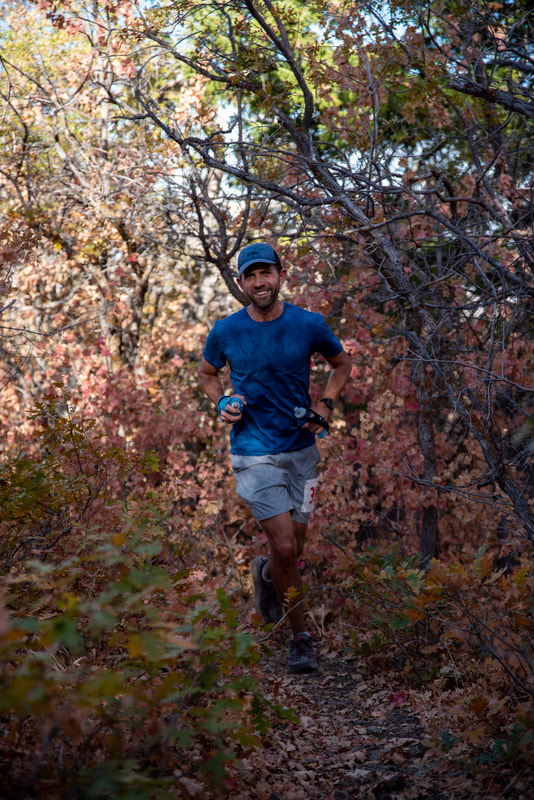
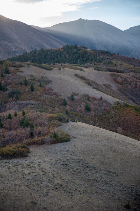
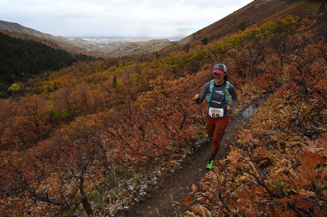
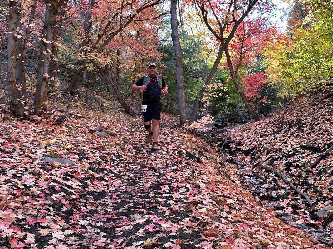
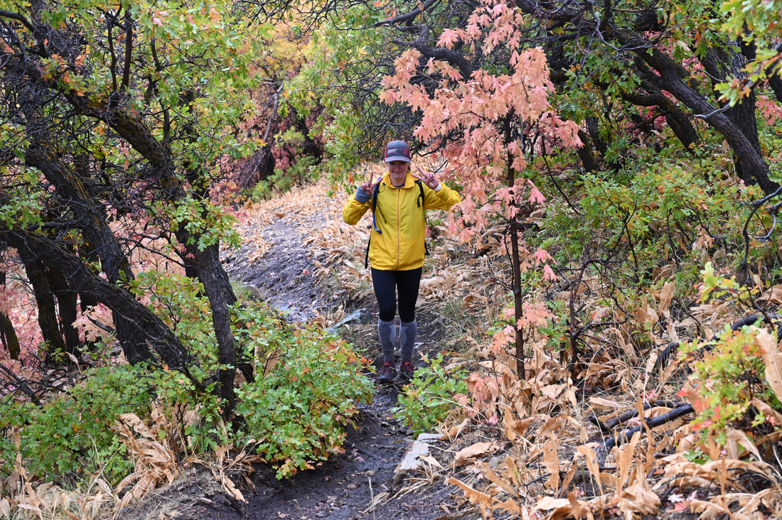
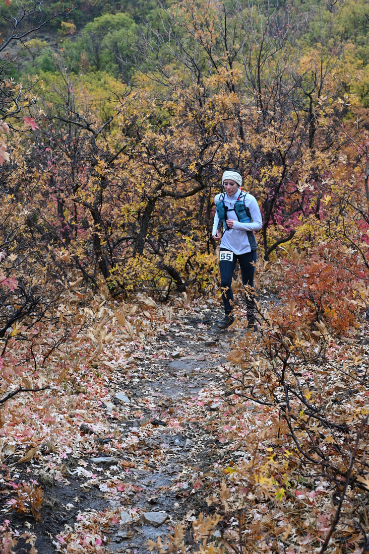
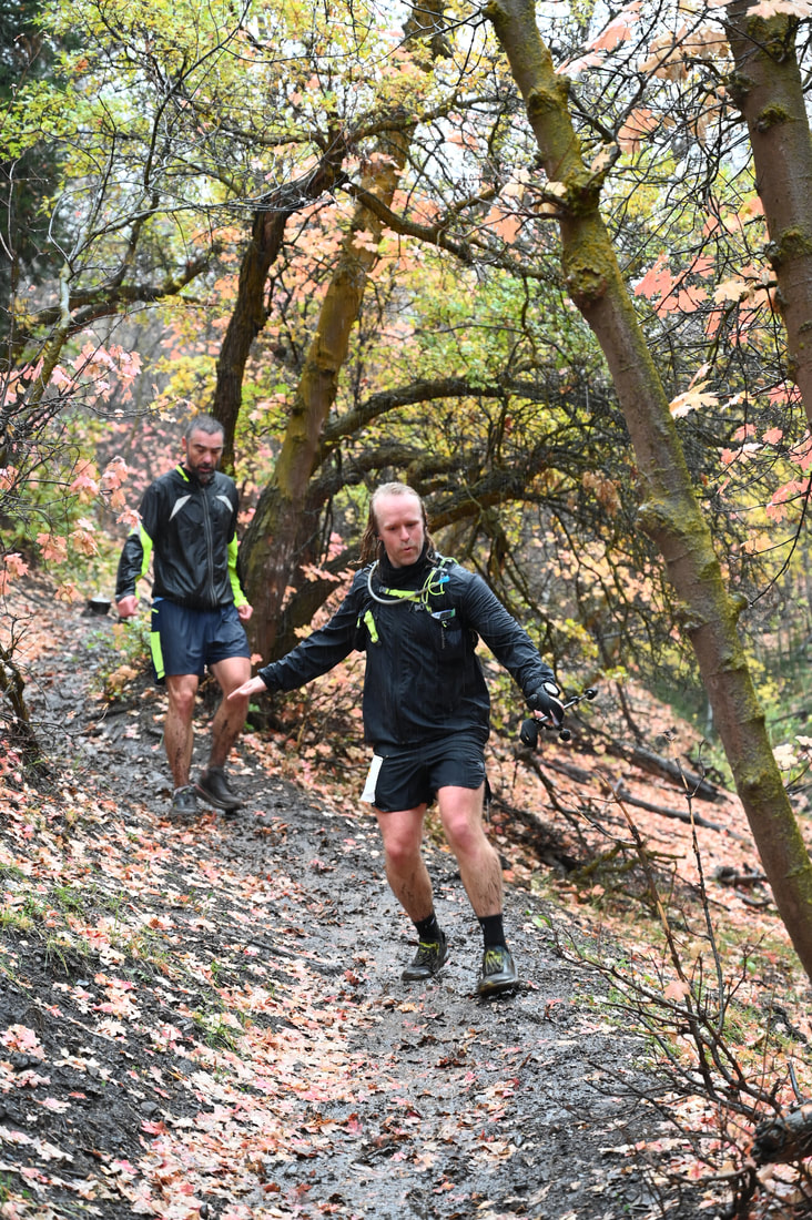
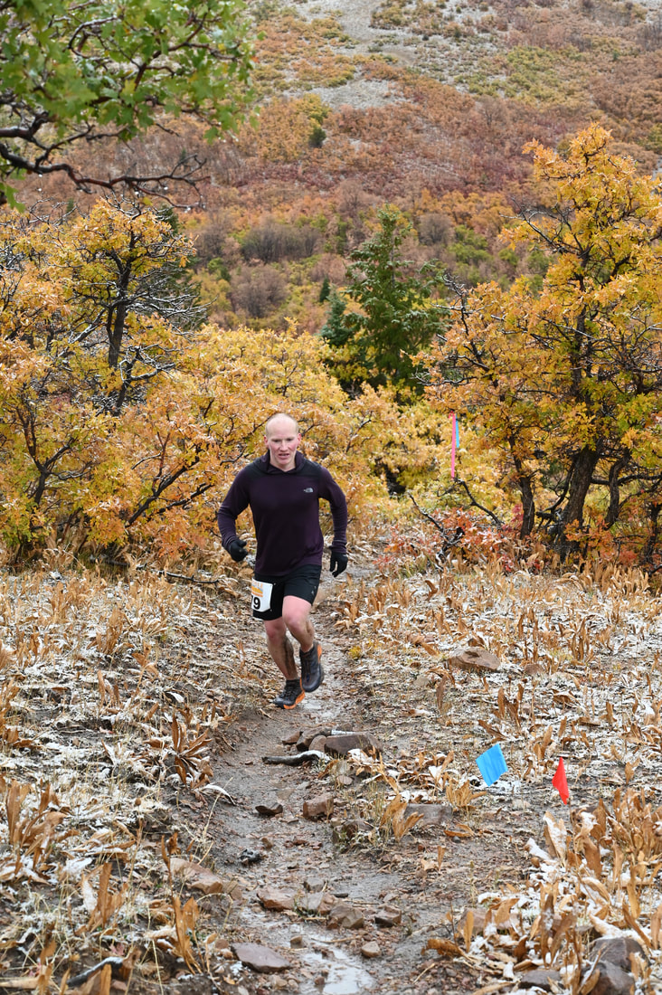
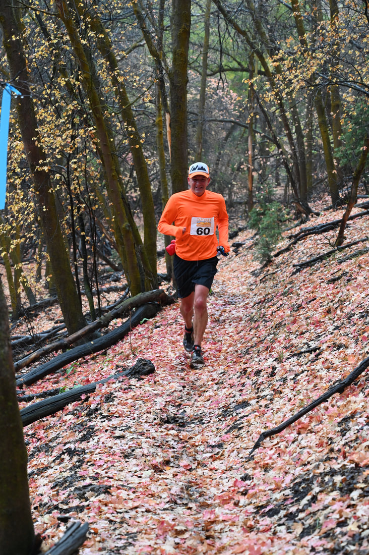
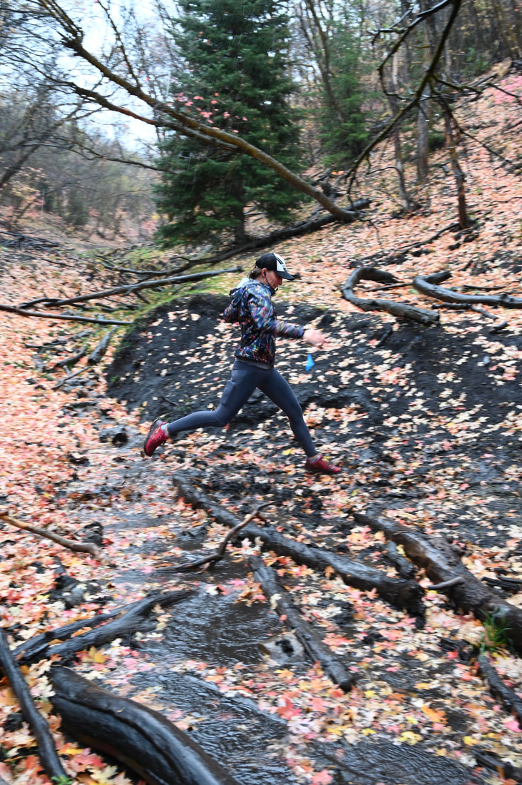
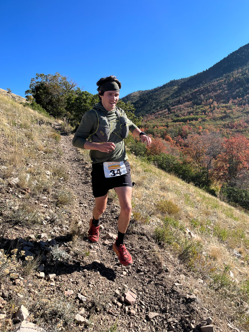
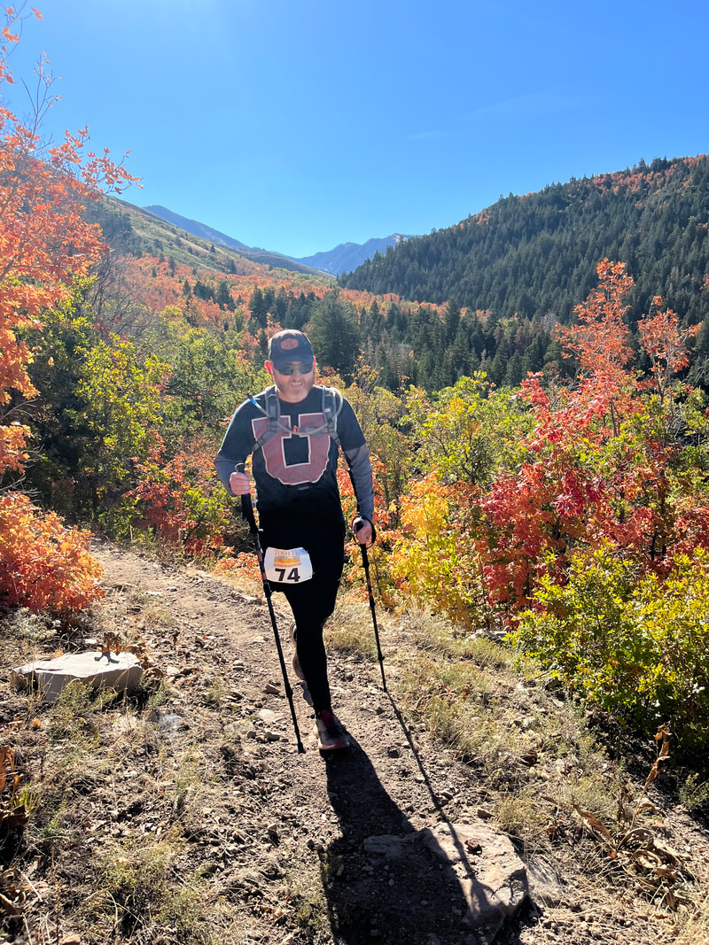
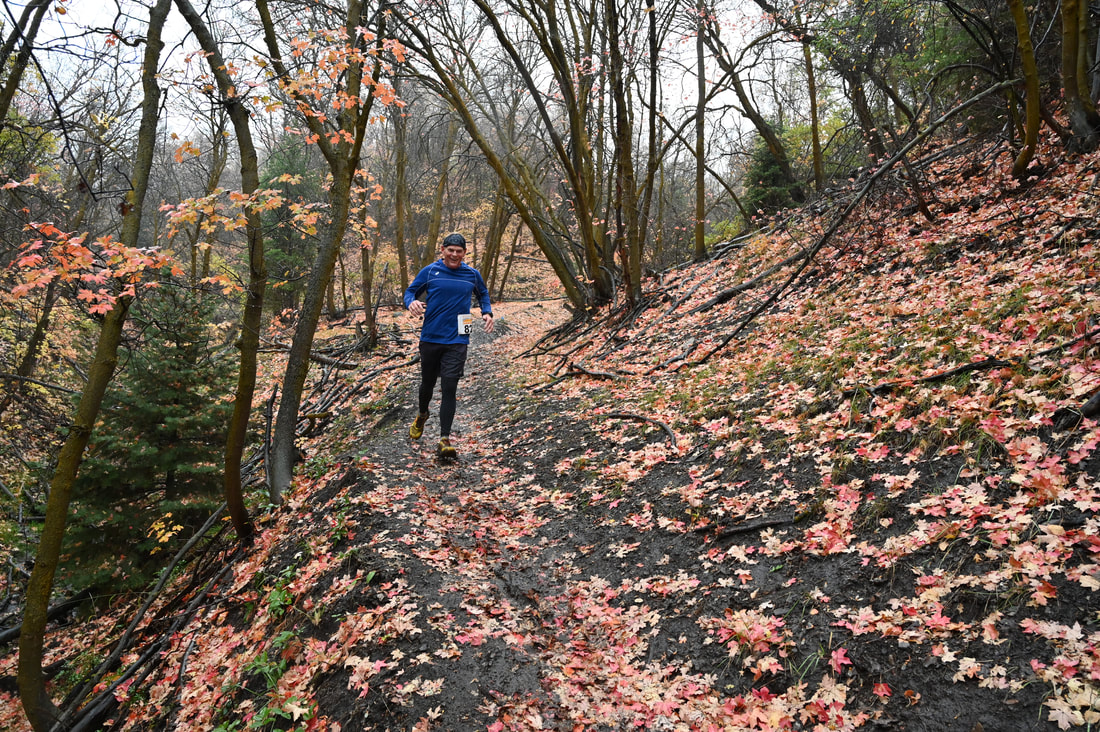
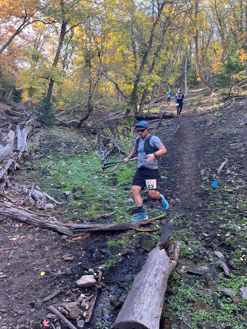
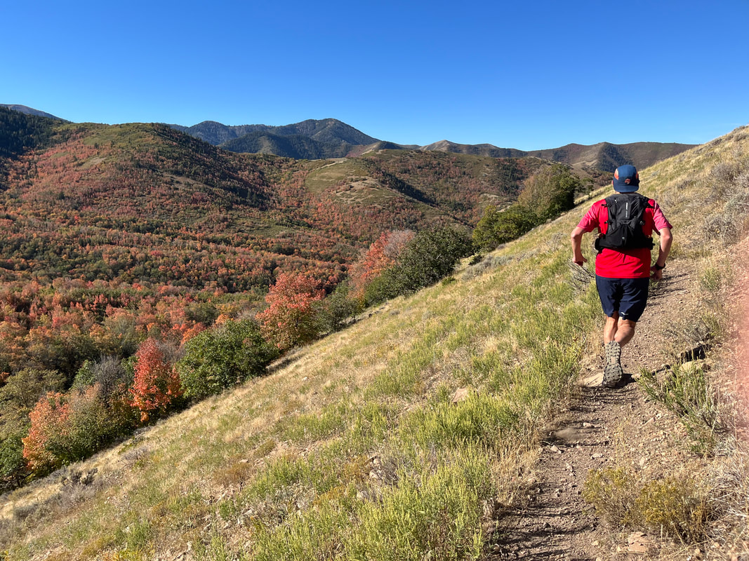
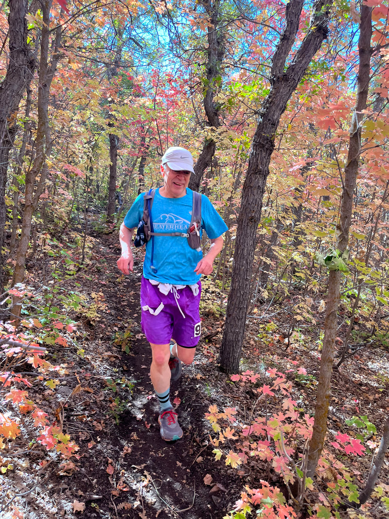
Tooele County is home to beautiful Settlement Canyon, founded and settled by Mormon pioneers in late 1849. These scenic courses take place in Left Hand Fork of Settlement Canyon and will take the runner through forested singletrack, rugged dirt roads, exposed bench trails, and steep deserty ridgeline, all while enjoying stunning views of Tooele Valley, and the 9,000-10,000 ft+ peaks surrounding the canyon. Come enjoy the beauty and solitude of getting off the asphalt and onto the dirt!
The Layout
This year, the Bear Trap Trail Races event will consist of 3 unique loops, taking you up into Settlement Canyon, along Center Ridge (up to 9,600' Tooele Peak, for the Marathon distance), through Left Hand Fork, and around the foothills above Settlement Canyon Reservoir; upon completing each loop, you will return to the Start/Finish Area, which will serve as your aid station.
Loop A will be approximately 6.20 miles, with ~1,800 ft of vert
(87% single-track, 3% double-track, & 10% dirtroad).
Trails included: Ridge Trail, Bottom/Muddy Trail, & Left Hand Fork Trail
PURPLE Course Markings
Loop B will be approximately 8.6 miles, with ~1,700 ft of vert
(78% single-track, 13% double-track, 8% dirt road, & 1% pavement).
Trails included: Dark Trail, Old Kennecott Road, Bench Trail, & Left Hand Fork Trail
BLUE Course Markings
Loop C will be approximately 8.2 miles, with ~1,600 ft of vert
(2% single-track, 67% double-track, 29% dirt road, & 2% pavement).
Trails included: Skyline Ridge Trail, foothills ATV trails, off-trail ridge traversing, pole line road, & Left Hand Fork Trail.
RED Course Markings

Marathon
Course Description
The Marathon course will traverse the PURPLE, BLUE, & RED loops.
Total vert will be approximately 8,000 ft.
THE OVERALL CUTOFF WILL BE 9 HOURS (5:00 pm).
Total vert will be approximately 8,000 ft.
THE OVERALL CUTOFF WILL BE 9 HOURS (5:00 pm).
Aid Station
Aid Station #1 - mile 9.6 (Start/Finish Area)
Aid Station #2 - mile 18.3 (Start/Finish Area)
The Aid Station will be stocked with water, electrolyte, assorted fruits, and savory goods.
*Aid station offerings may present a risk to those who have food allergies.
Aid Station #2 - mile 18.3 (Start/Finish Area)
The Aid Station will be stocked with water, electrolyte, assorted fruits, and savory goods.
*Aid station offerings may present a risk to those who have food allergies.
Drop Bags
Runners may keep a drop bag at the Start/Finish Area (or in their vehicle) to use after each loop.
Tooele Trail Racing will not be responsibile for any lost or damaged items associated with runners' drop bags.
Tooele Trail Racing will not be responsibile for any lost or damaged items associated with runners' drop bags.
Map
23k

Course Description
The 23k route will consist of the PURPLE & BLUE loops.
The total vert will be approximately 3,500 ft.
THE OVERALL CUTOFF WILL BE 5 HOURS (1:00 pm).
The total vert will be approximately 3,500 ft.
THE OVERALL CUTOFF WILL BE 5 HOURS (1:00 pm).
Aid Station
Aid Station #1 - mile 6.2 (Start/Finish Area)
The Aid Station will be stocked with water, electrolyte, assorted fruits, and savory goods.
*Aid station offerings may present a risk to those who have food allergies.
The Aid Station will be stocked with water, electrolyte, assorted fruits, and savory goods.
*Aid station offerings may present a risk to those who have food allergies.
Map
10k

Course Description
The 10k route will be run on the PURPLE loop.
The total vert will be approximately 1,800 ft.
THE OVERALL CUTOFF will be 2 HOURS (10:00 am).
The total vert will be approximately 1,800 ft.
THE OVERALL CUTOFF will be 2 HOURS (10:00 am).
Aid Station
Not an aid station per se, but when you finish your 6.2 mile loop, feel free to partake of the offerings at the Start/Finish Area.
The Aid Station will be stocked with water, electrolyte, assorted fruits, and savory goods.
*Aid station offerings may present a risk to those who have food allergies.
The Aid Station will be stocked with water, electrolyte, assorted fruits, and savory goods.
*Aid station offerings may present a risk to those who have food allergies.
Map

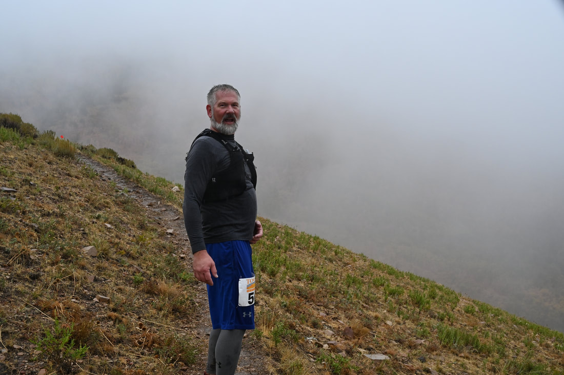
This is mountain running, between 5,300 & 9,600 ft above sea level; every year, we seem to get a snow storm in mid-October, dropping 2-6" of snow; on race day four years ago, we had freezing rain and a skiff of snow at the high point; most years, we have beautiful blue bird race day weather. Watch the forecast and pack your gear appropriately. If we get a big snowstorm, prohibiting us from summiting Tooele Peak, we will do a reverse PURPLE loop, to get you your marathon (+) distance.
The course is closed - if you go off-course, you must re-enter the course at the point of deviation, otherwise you will be disqualified. You are expected to study and become familiar with the course (don't rely on the other runners - they may not know where the heck they're going!)
Pack out what you pack in, or throw it in a garbage can at the Start/Finish Line.
We love furry friends, but you need to leave them at home. Please, no animals allowed on the course or at the Start/Finish Area.
Courses subject to change at RD's discretion.
|
|
|
|
|
|
|
|
|
|
|
|
|
|