White Pine Solstice Runs
55k ~ Half-Marathon ~ 8.5 Miler
|
|
Date and Time
21 June 2025
All races start at 6:00 am
Check-in 4:30-5:45
Registration ends at 7:59 pm 19 June 2025
All races start at 6:00 am
Check-in 4:30-5:45
Registration ends at 7:59 pm 19 June 2025
Race Location
White Pine Canyon
Tooele, UT
(Middle Canyon Rd - 6.8 miles east of SR-36 or 8.3 miles west of Bacchus Hwy)
Tooele, UT
(Middle Canyon Rd - 6.8 miles east of SR-36 or 8.3 miles west of Bacchus Hwy)
Awards
Modest awards will be given to the top 3 male and female finishers in each distance.
Refund/Withdrawal Policy
Registration fees are non-refundable
Transfers are not permitted
Life happens - we know. If you cannot attend the race, inform us by 11:59 pm 19 June and you can defer your registration to a future Tooele Trail Racing event.
Transfers are not permitted
Life happens - we know. If you cannot attend the race, inform us by 11:59 pm 19 June and you can defer your registration to a future Tooele Trail Racing event.
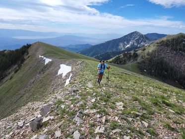
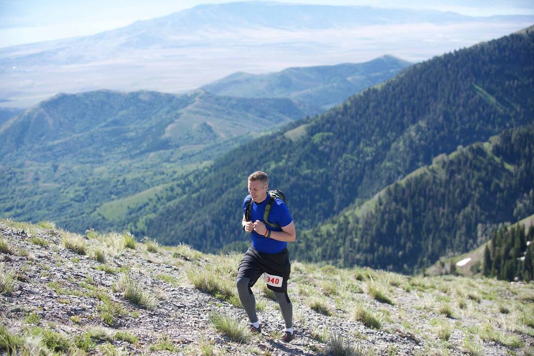
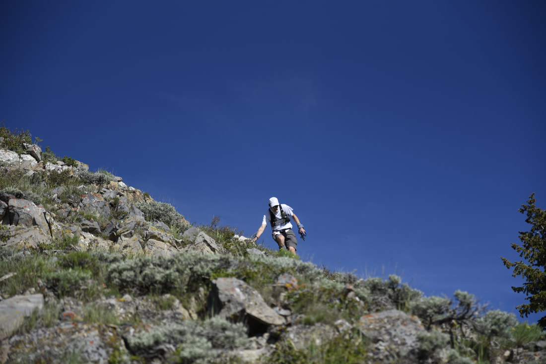
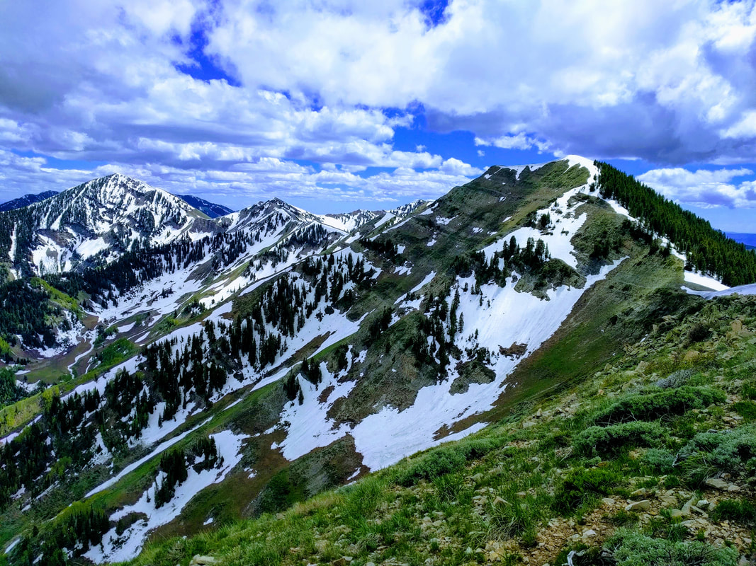
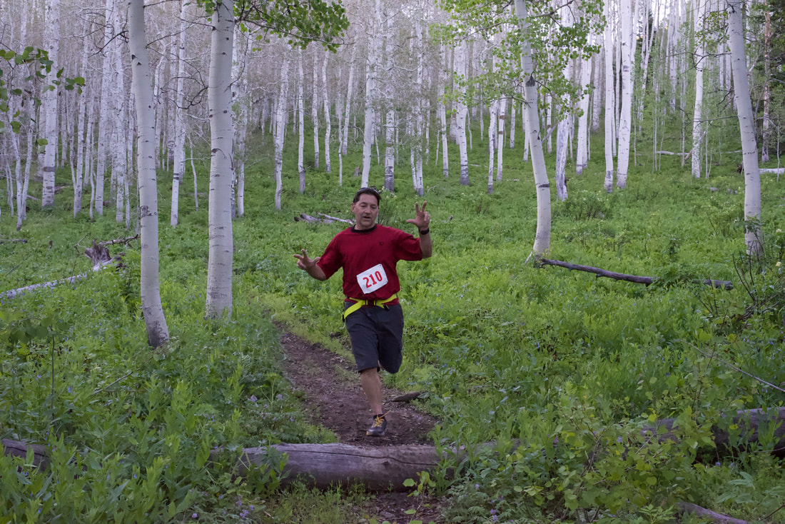
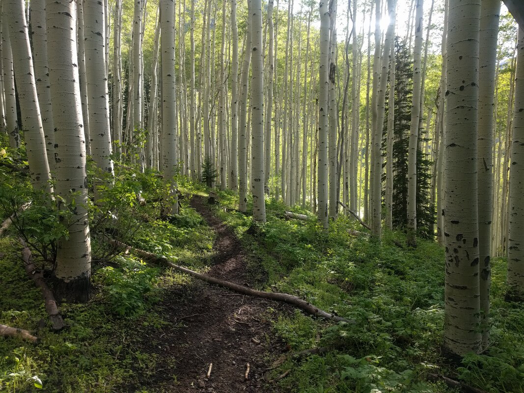
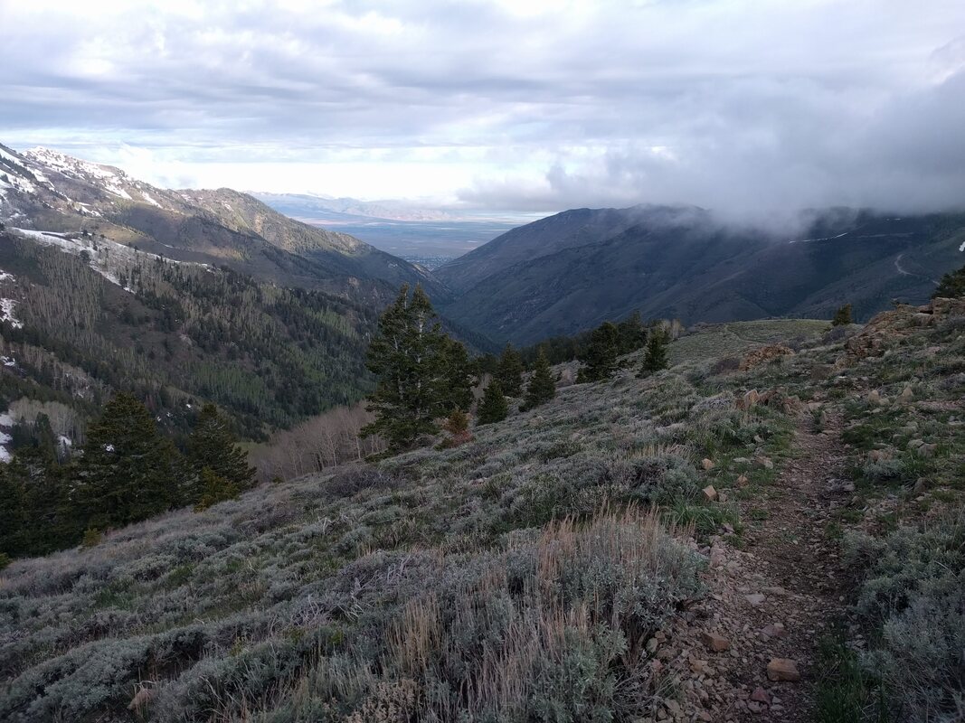
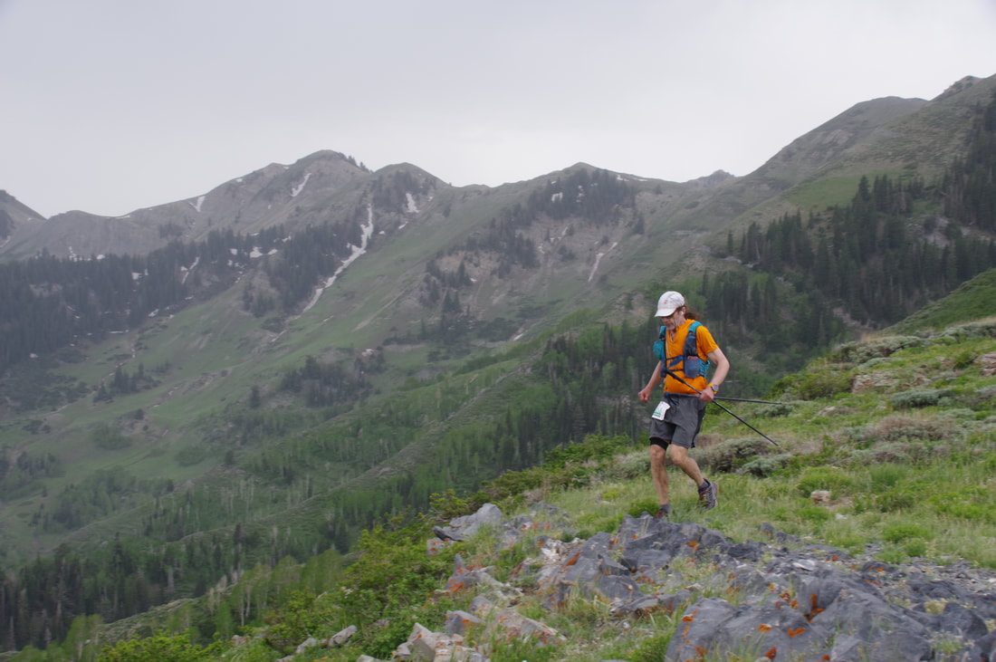
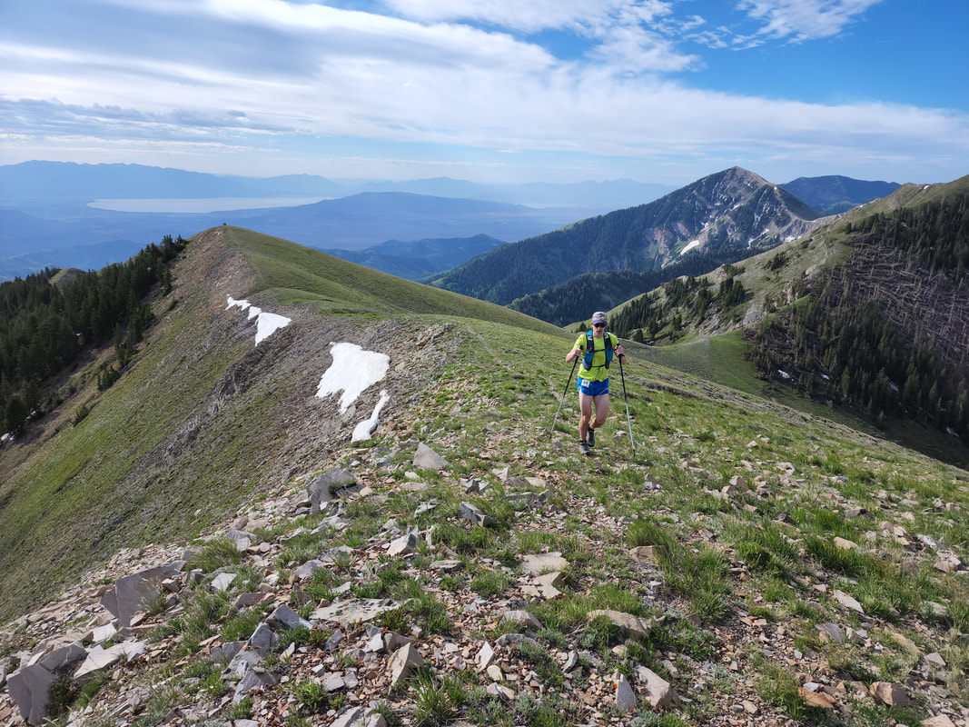
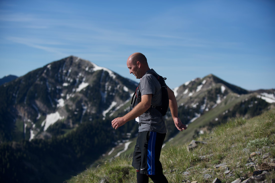
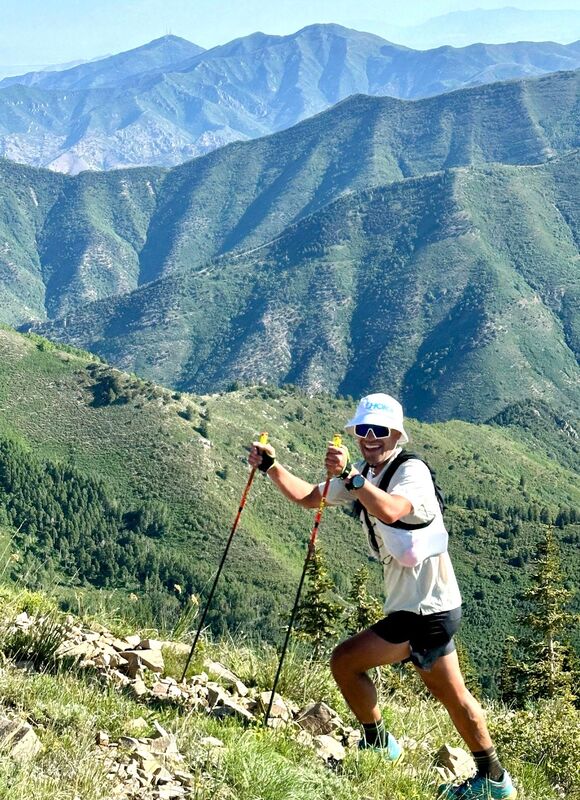
In the heart of the Oquirrh's lie White Pine & Settlement Canyons, divided by towering Kelsey Peak (10,373'), White Pine Peak (10,321'), and Tooele Peak (9,601'); to the east and north are Butterfield Peaks (9,370') and the Kennecott Mine Overlook (9,015')! These courses will take you up steep canyon roads; along beautiful single-track leading through groves of aspen and stands of pine; along rugged ridgelines overlooking Tooele, Salt Lake, and Utah Counties; and to the lofty summits of White Pine, Kelsey, Tooele, & Butterfield Peaks.
~ 55k ~
Course Description
The 55k route will take you up White Pine Canyon Rd, through White Pine Flat and beautiful aspen groves, and up to "White Pine Pass" (mile 2.8; 8,750 ft). At this point, be sure to turn southwest for your climb up toward Piney Pass. At mile 3.5, be sure to take the left (south) fork, ascending the horsetrail on the south face of the eastern White Pine Peak ridge. At Piney Pass (4.1; 9,940 ft.), turn left (south) for your ascent of Kelsey Peak, the high point of the course (10,373 ft.). After descending Kelsey Peak and returning to Piney Pass, continue north, to the White Pine ridge, where, at mile 5, you will head northwest, toward the summit of White Pine Peak (mile 5.2; 10,323 ft.).
From White Pine Peak, you will head north, descending the ridge for 1 mile, bagging Peak 9,747'. Next, you'll follow the ridgeline northwest, until you summit Tooele Peak (mile 6.8; 9,601 ft.). You will then descend the ridgeline west, dropping 2,600 ft, where you will meet the old Kennecott road (mile 8.4). Head south for about 0.2 miles, where you will turn west, arriving at the Bear Trap Pass aid station (mile 8.5; 7,000 ft.).
Next, you will head south, climbing the "Ridge Trail"; after about 0.2 miles, the trail will head northwest for 1.4 miles. At mile 10 (6,500 ft.), you will turn left (south), descending Crossing Hollow, meeting the Settlement Canyon Rd (mile 10.8; 5,800 ft.). You'll turn left (southeast), ascending the road for about 0.9 miles, where you'll turn south onto the "Dark Trail" (6,000 ft). If you run past a metal livestock corral, you've just missed your turn - look behind you for the red course markings! After crossing Settlement Creek, you descend the "Dark Trail", heading northwest. At mile 12 you'll cross Right Hand Fork, continue northwest along the "Dark Trail". At mile 12.9, you'll pass through a red pedestrian gate and reach the Settlement Canyon aid station (mile 12.9; 5,700 ft.).
After leaving the aid station, you'll head north on the "Dark Trail", descending 1.5 miles and 300 ft. This (mile 14.4; 5,400 ft.) will be an important hairpin turn to the southeast - if you find yourself running through a gravel horsetrailer parking lot, you've missed the turn! You will head southeast along a winding dirt road, then a single-track trail, bordered by RV camper parking, for a quarter mile. At mile 14.7, you'll cross the paved Settlement Canyon Rd, onto the "Left Hand Fork" trail. Head east on this for 0.5 miles, where you'll then veer left (northeast) onto the paved Camp Wapiti road. In 0.1 miles, you'll see the entrance to Camp Wapiti, just before reaching the gate, turn left (north) onto the continuation of the "Left Hand Fork" trail (mile 15.3; 5,800 ft.). You will climb this trail for 0.6 miles, where you will meet up with the "Bench Trail" (mile 15.9; 6,200 ft.). You'll climb this trail for roughly 2.4 miles, where you will arrive at the Bear Trap Pass aid station for the second time (18.3; 7,000 ft.).
From here, you will re-trace your steps, ascending 2,600 ft and 1.8 miles up to Tooele Peak; then 0.6 miles to Peak 9,747' again; then 1 mile south, to White Pine Peak again. At mile 21.9, you will continue east, descending the eastern White Pine Peak ridge, dropping 1.2 miles and 1,400 ft, until you get to "White Pine Pass" again (mile 23.1; 8,800 ft.). Here, you will climb 0.4 miles northeast, until you reach the east-west Butterfield Peaks ridgeline. Continuing east, watch for the fork in the trail at mile 24.2 (9,250 ft.) - be sure to turn right (southeast) for your ascent up to Butterfield Peak East. At mile 24.3, you will have reached the service road; continue up this until you reach the summit at mile 24.4 (9,363 ft.). From here, you will descend the north face of the peak, rejoining the Butterfield Peaks ridge trail. After descending 1.3 miles, you will have arrived at the Butterfield Pass aid staion (mile 25.9; 7,800 ft.).
From here, you will head north, ascending 2.6 miles and 1,200 ft. up the Oquirrh Mine Overlook Rd. At the top, be sure to take a peek down in the depths of the Bingham Copper Mine. Next, you'll re-trace your steps, back to the Butterfield Pass aid station (mile 31.2).
From here, you will head west, descending the White Pine single-track trail 2.2 miles until you reach White Pine Canyon Rd again. From there, it's a 0.8 mile 450 ft descent to the finish line!
Congratulations! You just climbed about 12,500 ft, summited two Oquirrh 10'ers, three 9'ers, and experienced some of the best trails in the mountain range!
THE OVERALL CUTOFF WILL BE 14.5 HOURS (8:30 pm)
Total Mileage: ~34 miles
Total Vert: ~12,500 ft.
Single-Track: 52%
Dirt Roads: 25%
Off-Trail: 19%
Double-Track: 4%
Hard Cutoffs:
Mile 12.9 (Settlement Canyon Aid Station) - 5.5 hours (11:30 am)
Mile 25.9 (Butterfield Pass Aid Station - *1st visit*) - 11 hours (5:00 pm)
Aid Stations
Aid Station #1 - Bear Trap Pass (Mile 8.5)
Aid Station #2 - Settlement Canyon (Mile 12.9)
Aid Station #3 - Bear Trap Pass (Mile 18.3)
Aid Station #4/5 - Butterfield Pass (Miles 25.9 & 31.2)
Finish - Mile 34
***Runners have to cover difficult trails between aid stations - be sure to have adequate hydration and fuel to get you from one to the next.
The aid stations & finish line will be stocked with the following:
Water, electrolyte drink, fruit, and other goodies.
*Aid Station offerings may present a risk to those who have food allergies.
Drop Bags |
You are allowed 1 drop bag, which may be accessed at Aid Station #2 (Settlement Canyon) - mile 12.9.
Please write your name & bib number and affix it to your bag.
Please, no bags larger than a small duffel bag.
Tooele Trail Racing and its associated volunteer staff will not be held liable for any lost or damaged items you place in your drop bags.
Please write your name & bib number and affix it to your bag.
Please, no bags larger than a small duffel bag.
Tooele Trail Racing and its associated volunteer staff will not be held liable for any lost or damaged items you place in your drop bags.
Pacers |
You are not allowed a pacer.
This includes friends who may want to use this race as an opportunity to run along with you, to get a good long run in...
No running bandit. If an idividual is discovered to be running bandit, they will be barred from participating in future Tooele Trail Racing events.
This includes friends who may want to use this race as an opportunity to run along with you, to get a good long run in...
No running bandit. If an idividual is discovered to be running bandit, they will be barred from participating in future Tooele Trail Racing events.
Crew
Runners may have crew meet them at the Settlement Canyon Aid Station, at miles 12.9.
Crew may not render aid to their runner outside of the Settlement Canyon Aid Station parking area.
Crew may not render aid to their runner outside of the Settlement Canyon Aid Station parking area.
~ Half-Marathon ~
Course Description
This route follows the 55k'ers up White Pine Canyon Rd, through White Pine Flat and beautiful aspen groves, and up to "White Pine Pass" (mile 2.8; 8,750 ft). You will then climb northeast, up to the Butterfield Peaks east-west ridgeline. At ~mile 4, be sure to stay southeast at the fork, climbing the west face of Butterfield Peak East (9,363 ft). Next you will descend the north face of Butterfield Peak East, rejoining the White Pine Loop trail at mile 4.4. Enjoy flying down the north ridge trail, 1.3 miles, until you reach the Butterfield Pass aid station (mile 5.8; 7,800 ft). Runners will then head north, climbing 1,200 ft over 2.5 miles, up the Kennecott Mine Overlook Rd - be sure to peer down into the deepest open pit mine in the world! Next, retrace your steps back to the Butterfield Pass aid station (mile 11.1). Upon leaving the aid station, you will head west, descending the White Pine single-track trail 2.2 miles until you reach White Pine Canyon Rd again. From there, it's a 0.8 mile 450 ft descent to the finish line!
THE OVERALL CUTOFF TIME WILL BE 4 HOURS 30 MINUTES (10:30 am)
Total Mileage: 13.9 miles
Total Vert: ~3,700 ft
Single-Track: 44%
Dirt Roads: 50%
Double-Track: 6%
THE OVERALL CUTOFF TIME WILL BE 4 HOURS 30 MINUTES (10:30 am)
Total Mileage: 13.9 miles
Total Vert: ~3,700 ft
Single-Track: 44%
Dirt Roads: 50%
Double-Track: 6%
Aid Stations
Aid Station #1/2 - Butterfield Pass (miles 5.8 & 11.1)
The aid stations & finish line will be stocked with the following:
Water, electrolyte drink, fruit, and other goodies.
*Aid Station offerings may present a risk to those who have food allergies.
The aid stations & finish line will be stocked with the following:
Water, electrolyte drink, fruit, and other goodies.
*Aid Station offerings may present a risk to those who have food allergies.
~ 8.5 Miler ~
Course Description
Runners will follow the same route as the Half-Marathoners, minus the out-and-back to the Oquirrh Mine Overlook.
Total Mileage: 8.7 miles
Total Vert: ~2,500 ft
Single-Track: 70%
Dirt Road: 21%
Double-Track: 9%
Hard Cut-off:
Mile 8.7 (Finish Line) - 3 hours (9:00 am)
Total Mileage: 8.7 miles
Total Vert: ~2,500 ft
Single-Track: 70%
Dirt Road: 21%
Double-Track: 9%
Hard Cut-off:
Mile 8.7 (Finish Line) - 3 hours (9:00 am)
Aid Station
Aid Station #1 (Butterfield Pass) - Mile 5.8
The aid station & finish line will be stocked with the following:
Water, electrolyte drink, fruit, and other goodies.
*Aid Station offerings may present a risk to those who have food allergies.
The aid station & finish line will be stocked with the following:
Water, electrolyte drink, fruit, and other goodies.
*Aid Station offerings may present a risk to those who have food allergies.
Red markings and directional signs will be used to keep you on-course.
You are HIGHLY encouraged to carry water i.e. hydration pack, hydration belt, or hand-held, as well as gear in case of inclement weather. Remember, there are great distances in-between aid stations on the 55k course. Bring adequate hydration and fuel to get you to the finish without bonking!
Pack out what you pack in, or throw it in a garbage can at the Start/Finish Line.
No animals allowed on the course.
Courses subject to change at RD's discretion.
|
|
|
|
|


|
